Road trip
Route 3 · North Shore: Murals, Coal Towns & the Bastion
- Driving
- ≈ 95 km, 2 h behind the wheel
- Day
- Full day
- Terrain
- Highway and quiet Yellow Point back roads
- Season
- Any; check tide tables for Roberts Park
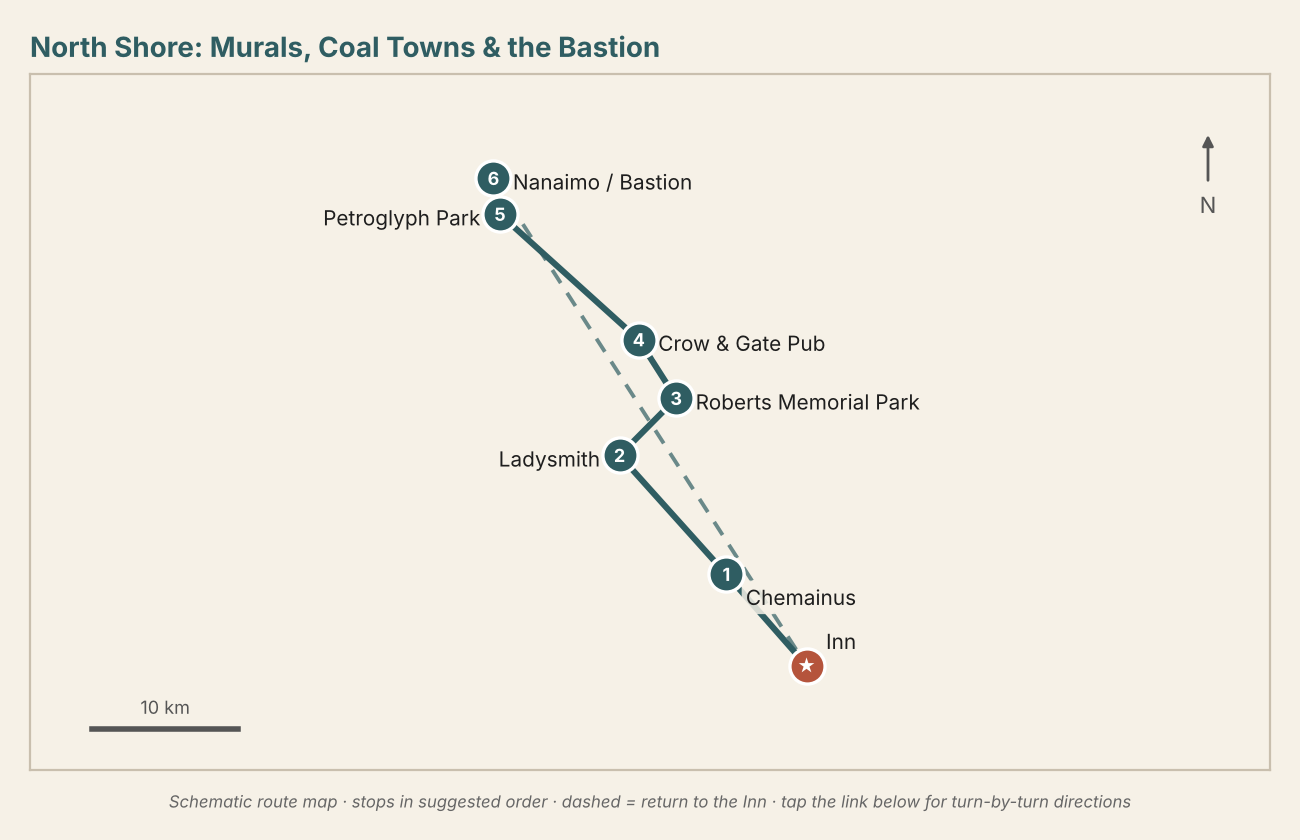
Four towns built on four industries: Chemainus (sawmill), Ladysmith (coal shipping), Yellow Point (farming and a very English pub) and Nanaimo (Hudson's Bay Company coal). The return on Highway 1 is 45 minutes.
- Chemainus — Murals and coffee on Willow Street; Kinsmen Beach if the morning is fine.
- Ladysmith — Cinnamon buns at Old Town Bakery, then First Avenue's heritage storefronts and the Maritime Society on the harbour.
- Roberts Memorial Provincial Park — A 15-minute forest walk to a sandstone shoreline carved into honeycomb shelves, with the Island's best easy tide pools at low tide and seals offshore. Sturdy shoes.
- Crow & Gate Pub, Yellow Point — BC's first neighbourhood pub (1972), built by a Sussex expatriate in pegged beam and plaster with stone fireplaces and a cottage garden. Ploughman's plates, pies, local ale. 19+ only.
- Petroglyph Provincial Park — A five-minute walk to ancient Snuneymuxw carvings in sandstone; the replica castings can be rubbed, the originals cannot.
- Nanaimo — The Bastion, the Nanaimo Museum, the Harbourfront Walkway and the Old City Quarter. A Nanaimo bar is compulsory. Dinner on the waterfront, then 45 minutes home.
Yellow Point Road also passes Yellow Point Lodge, Hemer Provincial Park (easy lake and forest loop) and several farm stands in summer.